Despachos
ENVIOS TODOS LOS DIAS
HASTA LAS 13 HRS.
BUSCA TU MAPA

INSPIRE
E X P L O R E
T H E A N D E S
#ADVENTURE CARTOGRAPHY
Mount Almirante Nieto view

Mi canal
ALL MOUNTAIN MAPS

Tested on
Mountain

Easy to use

Compatible
with GPS

Waterproof

Ecological Paper
No Tree

All the
Walking trails
and routes

Interpretive
Reliefs

Use with
compass


Photograph using
AvenzaMaps in
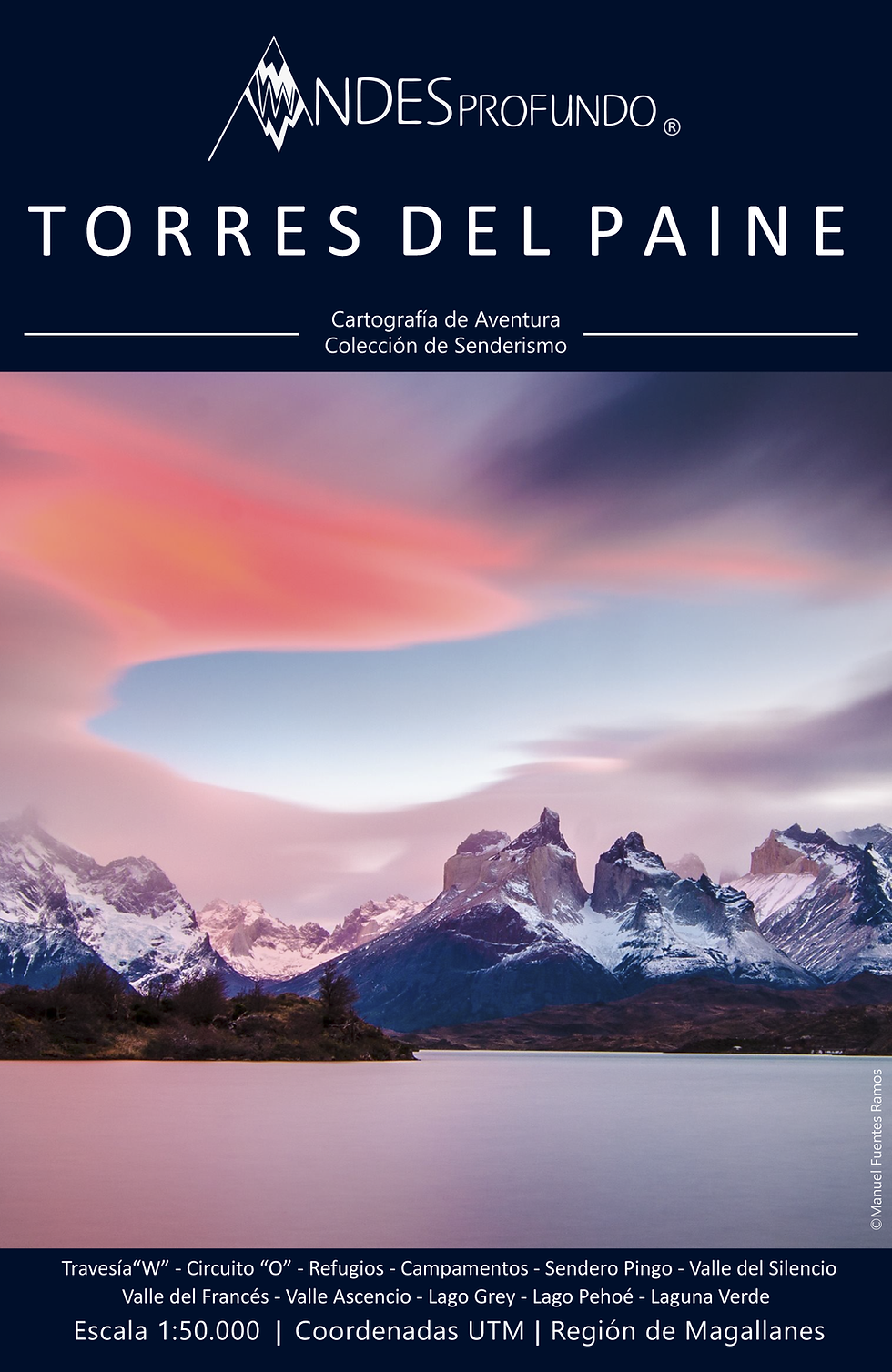
Torres del Paine


TAKE THEM EVERYWHERE
Designed to be used in the mountains.
compact to carry in your backpack or pocket
Pasa el Cursor
Pasa el Cursor
Tamaño Bolsillo
Solo mide 15x10 cm
Impermeable
Papel Stonepaper
Resistente
Grilla
de 1 Kilometro
Cuadrado
Pendientes
0° a 15°
Glaciares
Zonas de Peligro
Senderos
sobre 80°
Pendientes
Negro
blanco
Pendientes
30° a 45°
anaranjado
Negro
Distancias en Sendero
Todo en kilómetros
Coordenadas UTM
Puntos de interés
sin calculos
Relieve y Sombreado
Interpretación rápida
del terreno
Altimetría
Cada 25 y 100 metros
* Only Mountaineering Collection
* Only Mountaineering Collection


PAPER MAPS
Check them out at our points of sale
mountain shelters and shop

SIGN UP
Offers and
Discount coupons
Maps before publication
Free digital Mapping